This function simulates attribute space data for RAP.
sim.space(x, ...)

# S3 method for SpatRaster
sim.space(x, d = 2, model = 0.2, ...)

# S3 method for SpatialPolygons
sim.space(x, res, d = 2, model = 0.2, ...)

# S3 method for sf
sim.space(x, res, d = 2, model = 0.2, ...)
Arguments
- x
terra::rast()orsf::st_sf()object delineating the spatial extent for the study area.- ...
not used.
- d
integernumber of dimensions. Defaults to 2.- model
numericscale parameter for simulating spatially auto-correlated data using Gaussian random fields. Higher values produce patchier data with more well defined clusters, and lower values produce more evenly distributed data. Defaults to 0.2.- res
numericresolution to simulate distributions. Only needed whensf::st_sf()are supplied.
Value
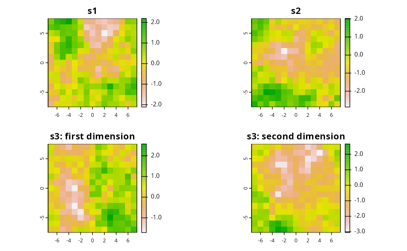
terra::rast() with layers for each dimension of the space.
Examples
# \dontrun{
# simulate planning units
sim_pus <- sim.pus(225L)

# simulate 1d space using SpatRaster
s1 <- sim.space(blank.raster(sim_pus, 1), d = 1)

# simulate 1d space using sf
s2 <- sim.space(sim_pus, res = 1, d = 1)

# simulate 2d space using sf
s3 <- sim.space(sim_pus, res = 1, d = 2)

# plot simulated spaces
par(mfrow = c(2,2))
plot(s1, main = "s1")
plot(s2, main = "s2")
plot(s3[[1]], main = "s3: first dimension")
plot(s3[[2]], main = "s3: second dimension")

# }
# }